June 11
Hiking Bandung
Bandung is located in the mountains, and there are a lot of trails to hike. I decided to hike one that starts in a town about 30km north of Bandung and goes to the summit of an active volcano called Tangkuban Parahu.
I started early in the morning by taking a Grab (the local SE Asian version of Uber) to the trailhead. The road from Bandung to the trailhead is almost entirely, obviously uphill, and by the time we arrived at the trail it was clear that we were way higher in altitude than Bandung central. The temperature outside was probably 10 degrees cooler than Bandung, so mid-50s.
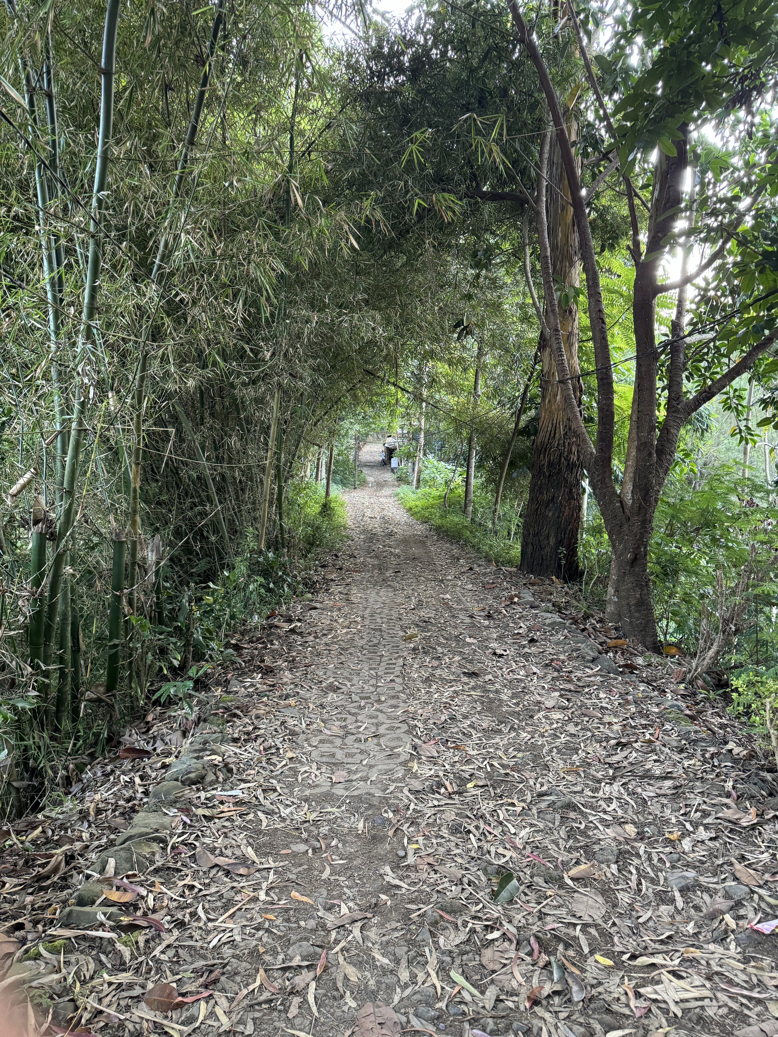
I paid the 8,000 rupiah ($0.50) hiking permit fee to the ranger at the trailhead and got on my way. I downloaded the GPS track from All Trails and had it going on my phone. The first part of the trail was really easy to navigate, and while it was going uphill and pretty steep at points, the trail was prepared and marked.
There were little stops along the way where people built small huts to sell snacks and water. I stopped at a small convenience store before getting into the Grab, so I had water and snacks already and didn’t need to stop.
There were rubber trees and coffee plants along the trail, which was really neat to see.
About halfway through the hike, the trail disappeared and even while following the GPS track, there was a barbed wire fence and other obstacles that prevented me from picking up the trail. I did some bushwhacking and attempted to continue but I couldn’t.
I ended up using Google Maps to find a road, which probably was the old road prior to building the new one, and kept walking until I got to a bus stop with signs pointing to the summit. I walked the rest of the way on the new road.
Despite losing the trail, the view at the top was great and I then had to walk all the way back down to hail a Grab to get back to town.

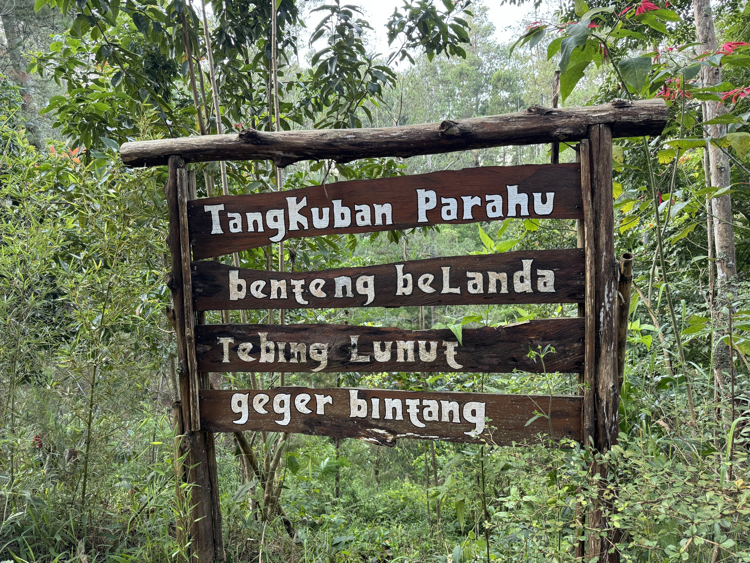
The start of the trail to Tankuban Parahu
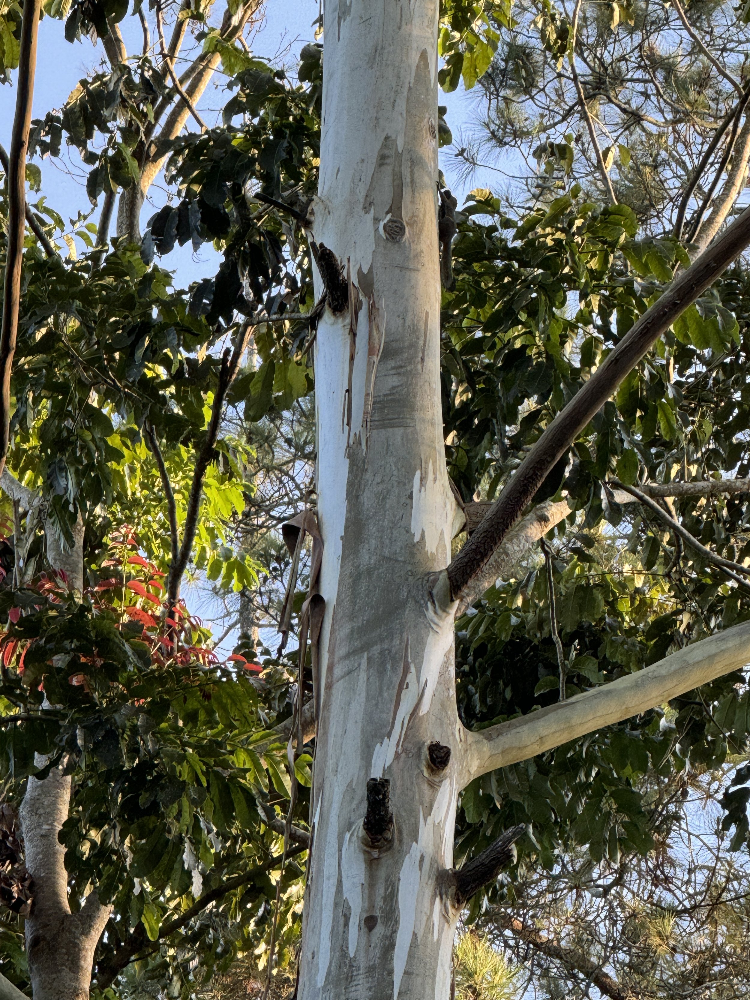
Trees

More trees. A great view.
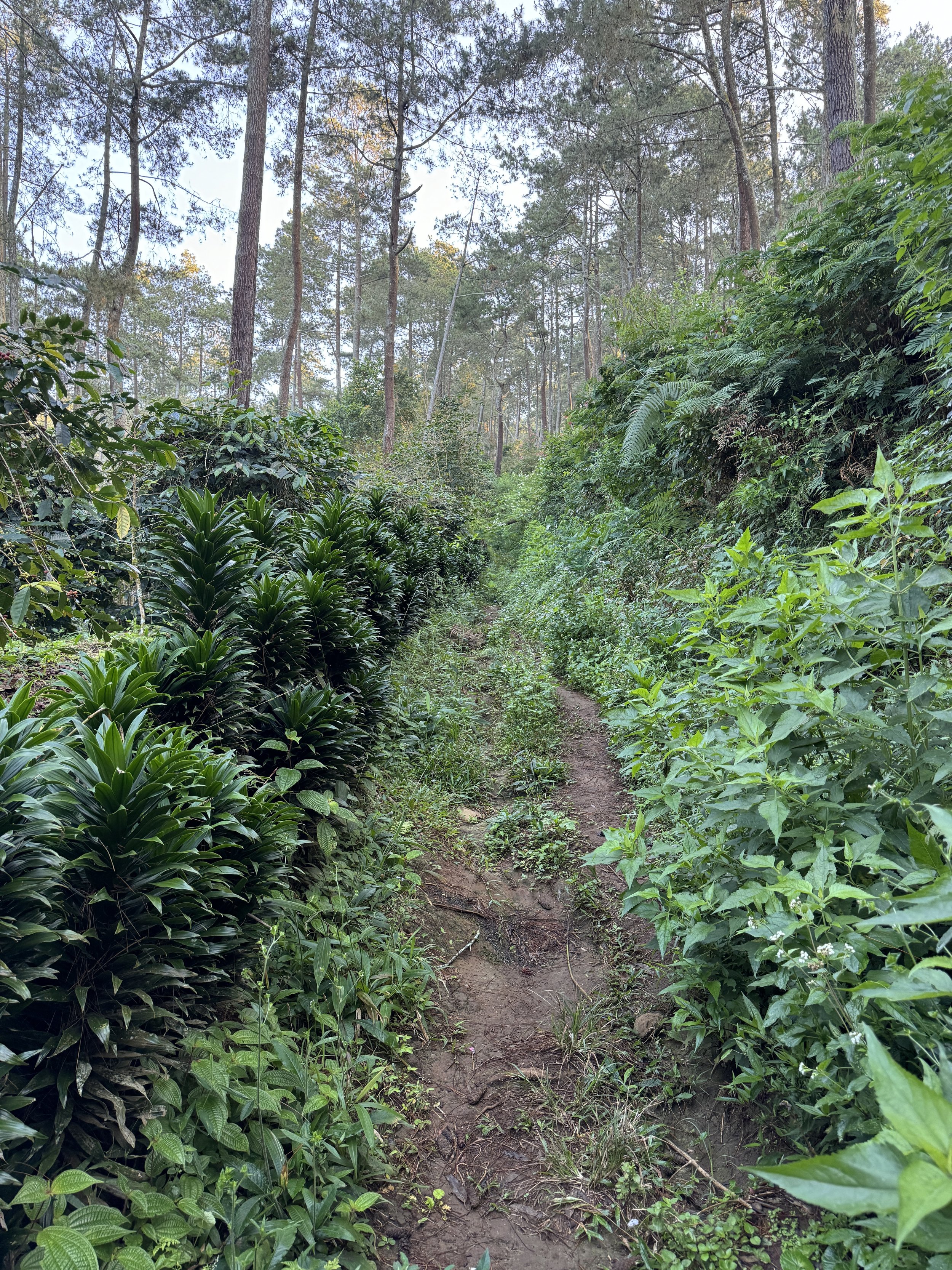
The trail gets a bit overgrown in places
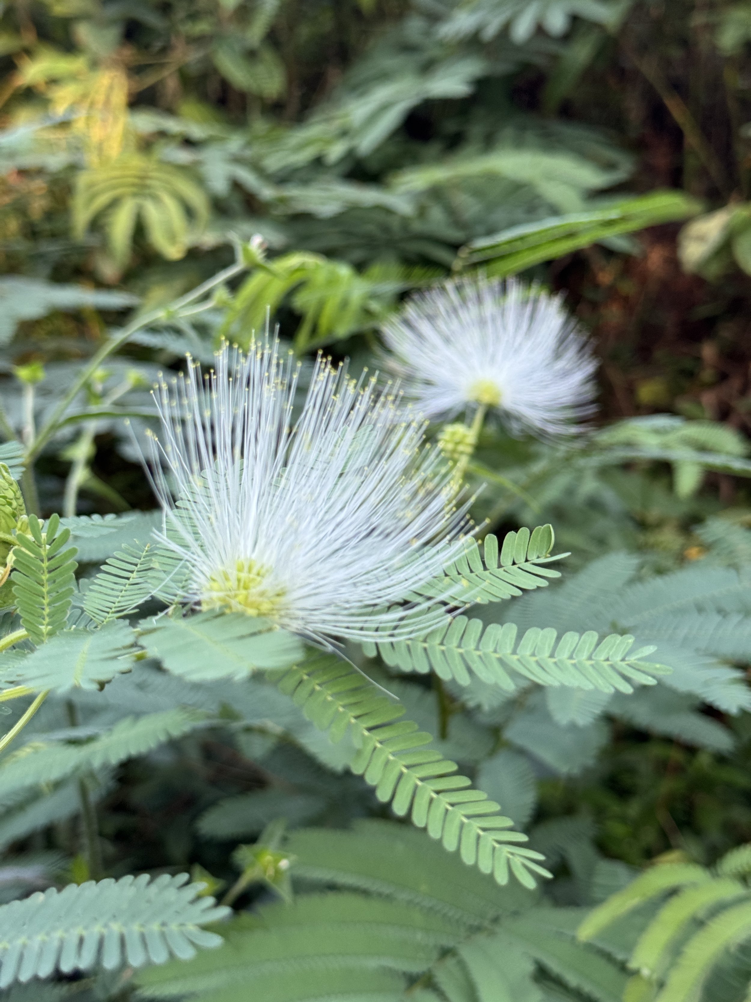
I have no idea what kind of flower this is but it's really neat looking

An Arabica Coffee Plant!
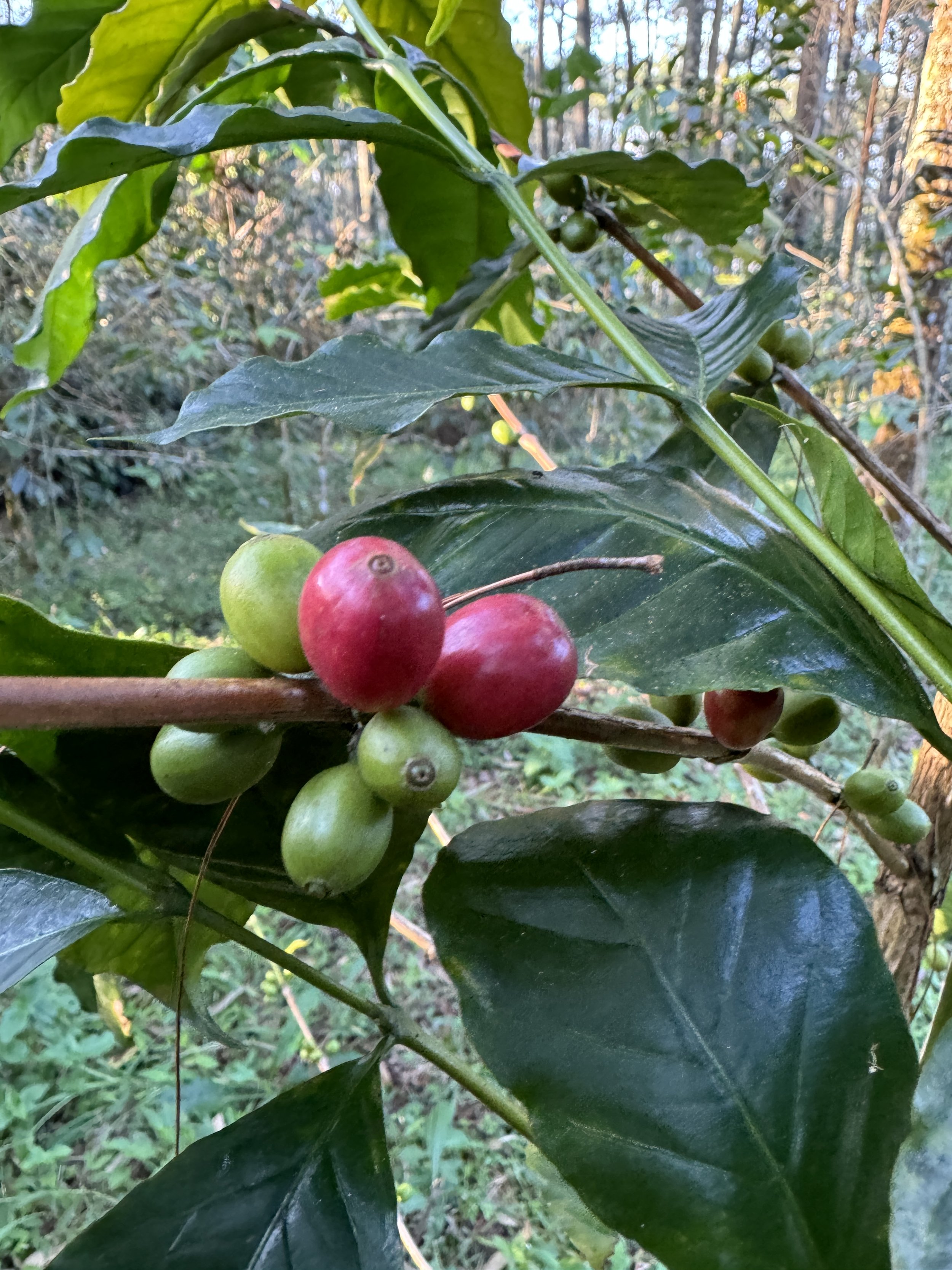
Coffee Beans

A rubber tree being harvested

The rubber looks a little dirty. I guess they have a way of cleaning it when they take the cups.
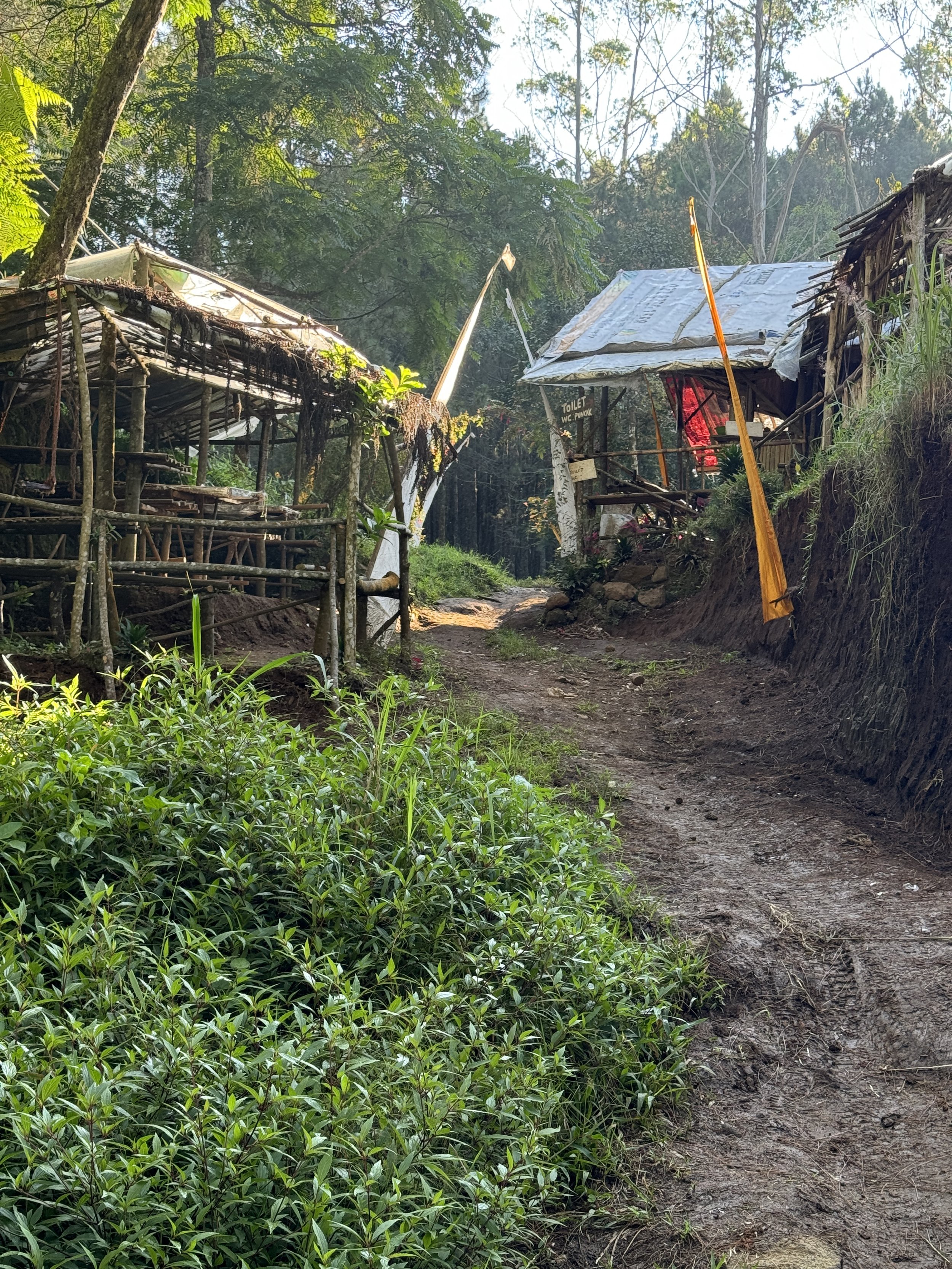
A little hut that sells snacks and water

As the elevation gets higher, the air temp keeps getting lower.

At this point I've lost the trail and I'm just following the remnants of an old road.

Instagram spots are labeled everywhere on earth now.
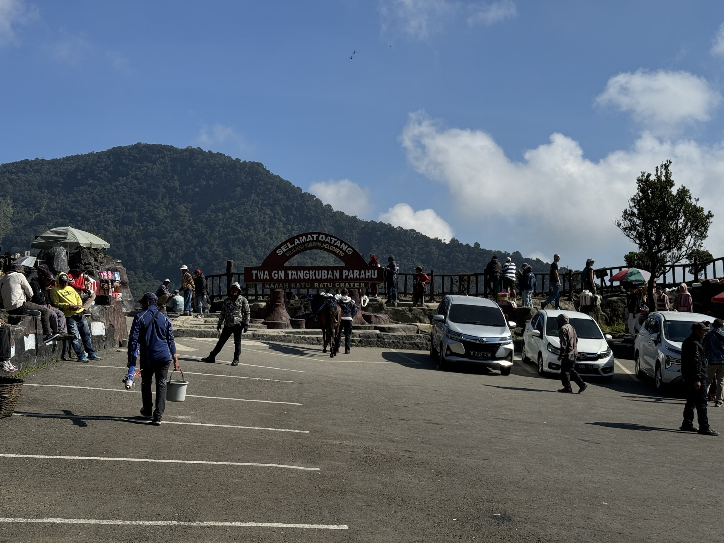
Most people just drive to the summit. When the vendors asked me where I came from, they thought it was really weird that I hiked.
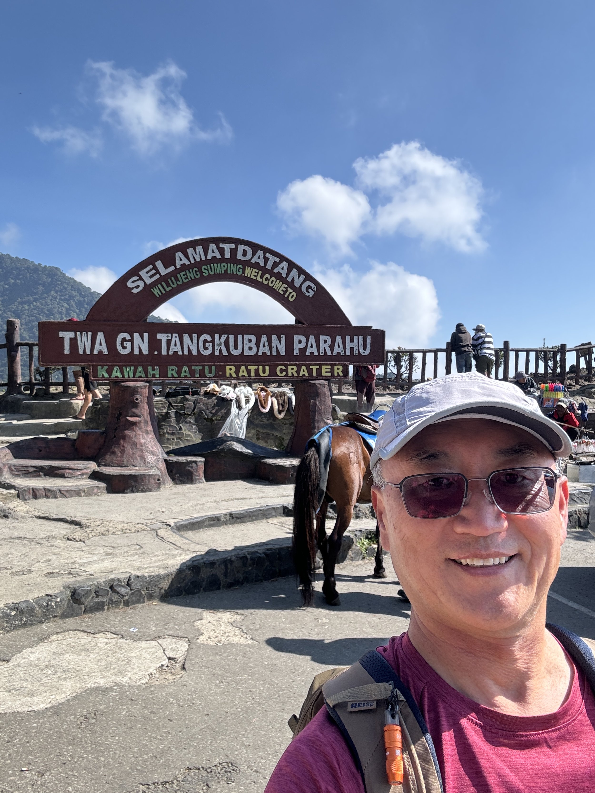
The instagram shot.

The crater is actively volcanic.
The Tangkuban Parahu Crater
It’s bubbly and steaming and doing volcano stuff.